Downloand ArcGIS Pro
Before reading about the ArcGIS Pro program, we have to know that this program greatly supports GIS, and what is meant by GIS:
- A geographic information system (GIS) is a computer-based system that collects, maintains, stores, analyzes, outputs, and distributes data and spatial information.
- They are systems that collect, enter, process, analyze, display and output spatial and descriptive information, for specific purposes, and help in planning and decision-making regarding agriculture, urban planning and housing expansion, in addition to reading the infrastructure of any city by creating so-called layers (layers). This system allows us to enter, process (edit from error), store, retrieve, query, spatially and statistically analyze and display geographic information (maps, aerial photographs, satellite visuals) and descriptive information (names and tables). On a computer screen or on paper in the form of maps, reports and graphs, or through the website.
- GIS helps answer many questions related to identification (what is the agricultural pattern, what types of crops are suitable for cultivation in the agricultural unit), measurements (what are the area and coordinates of the units, and what is the diameter of an irrigation pipe that irrigates), location coordinate systems Geographical and projected, status (what irrigation pipes with a diameter of 300 mm are in the area), variance (soil salinity from 1965 to 2006), typical distribution (what is the relationship between population distribution and areas of water availability) and scenarios related to hydrology (what happens if it increases The change in the flow of irrigation water in the pipe).
As for the ArcGIS Pro program:
It is a computer program (downloaded to a computer) through which vector and vector data are collected, saved and stored within a geographical database, and then spatial and descriptive analyzes are performed on the data to derive new geographical data from the original and The quality of the stored data is checked, then after storage and analysis, maps and geographical reports are produced to help decision-makers make their decisions in solving spatial problems, as well as displaying geographical data in the form of internet maps, which facilitates access to information faster and easier than the program.
The strength of the ArcGIS Pro program is that it links between spatial and descriptive data under the name of a feature, a single geographic feature, as a group of geographical features and features is called a layer, for example, a layer of roads consists of twenty roads, if each road is called a feature. Geographical (Feature) Twenty-way roads are a class of roads.
Therefore, any government department, municipality or any institution, company and office in which GIS is used, the results of their outputs are very strong and accurate in saving time and effort to explore geographical data, as well as displaying that data to facilitate access to information.
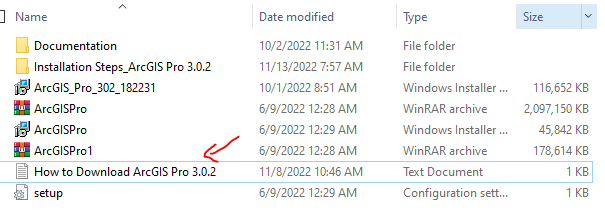
To see how to download ArcGIS Pro with lifetime activation, watch the following video:
To download the download files from here.


Comments
Post a Comment